Mapping · 2024
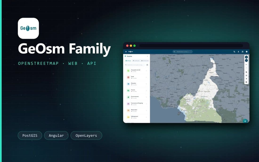
Bringing every trade together around one map, powered by OpenStreetMap.
- Role
- Lead Software Engineer
- Client
- GeOsm Family
- Period
- 2020 - 2024
- Platforms
- web · api · admin · infra
An open-source platform to consume and visualise OpenStreetMap data, built for Africa: one instance per country with its map, layer catalogue, extraction and analysis tools, then a geolocated social network and a public API in v2.
Open source
v1 published on GitHub
1 instance
per country
OSM
OpenStreetMap data
Animated overview
Challenges
01
Geospatial extraction & processing
Tools to extract, clean and serve OSM data as thematic layers, on top of PostGIS and QGIS Server.
02
One map, every trade
An interactive multi-layer viewer that non-technical users can actually use.
Stack
PostGISPythonAngularOpenLayersLeafletQGIS ServerFastifyDocker
Next project
CartODD · Francophonie